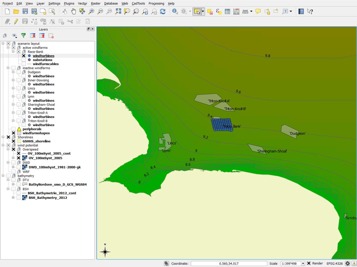
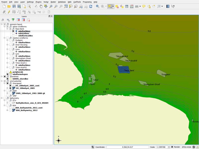
GIS Integration
Many tasks which must be performed in order to optimise offshore wind farms are well supported by Geographical Information Systems, GIS. To benefit from this approach, we have included an open source GIS, the QGIS software, into the Wind & Economy workflow as one possible frontend.
By using this approach, you will be able to
- edit turbine layout
- visualize local and large-scale wind resources and energy production
- edit turbine types and other parameters
- optimise the cable layout
- calculate electrical losses
- select grid connection options
- consider environmental protection areas
- include additional information such as maps of water depth, exclusion areas, shipping lanes and others into your planning work


